Make Navigation More Accurate
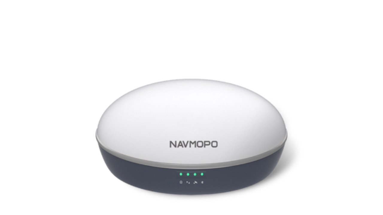
The NAVMOPO V1 Base Station is a lightweight GNSS RTK receiver that supports all constellations and frequencies. With strong anti-interference capabilities, it provides fast and accurate positioning even in harsh environments. Its portable feature allows the product to be easily applied to and customized for various fields such as agricultural navigation, engineering surveys, and more. Our NAVMOPO V1 Base Station Bracket kit, which comes with the station, offers extra stability and accuracy for agricultural operations.

Global Constellation Coverage

Long Battery Life

Wide Work Range

IP67 Rating

CM-level Accuracy

Lightweight & Durable
Make Navigation More Accurate
Базовая станция NAVMOPO V1 - это легкий приемник GNSS RTK, поддерживающий все созвездия и частоты. Обладая высокой устойчивостью к помехам, он обеспечивает быстрое и точное позиционирование даже в сложных условиях. Его портативная функция позволяет легко применять и настраивать для различных областей, таких как сельское хозяйство, инженерные изыскания и другие. Наш комплект крепления для базовой станции NAVMOPO V1, который идет в комплекте с устройством, обеспечивает дополнительную стабильность и точность для сельскохозяйственных операций.

Поддержка Всех Спутниковых Группировок
ировок

Долгий срок службы батареи

Широкий Рабочий Диапазон

Степень Защиты IP67

Высокая Точность

Легкий И Прочный

Wide Work Range
The product supports TRIMTALK, TRIMARK III, TT450S, TRANSEOT, and Satel 3AS 4FSK. Under normal conditions, the working range of the product is 5km, but it can vary from 3km to 8km, depending on interference in the working environment. With an NAVMOPO external radio, the working range can reach up to 30km in optimal conditions.

Long Battery Life
The device incorporates a low-consumption chip and a large-capacity lithium battery. The battery life can reach up to 10 hours in base station mode and 80 hours when paired with the energy storage device.

Lightweight & Durable
Weighing only 1kg and constructed by Elektron materials for maximum portability, this product has undergone IP67 testing and a 1.5-meter drop test. Its high durability and corrosion resistance make it a perfect choice for your work.
Contact us to find out more about our solutions for precision agriculture
Application Scenarios
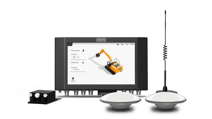
NAVMOPO V1 Base Station is widely used in the fields of agriculture and surveying. It provides stable differential positioning services for various mobile devices and effectively complements existing product lines, such as AT2 Auto Steer System, GR31 Excavator Guidance System.

NAVMOPO AT2
NAVMOPO AT2 automatic steering system combines GNSS and RTK technologies, which guarantees an accuracy of up to 2.5 cm between passes in any terrain. PPP positioning technology allows NAVMOPO AT2 to work perfectly on a free satellite signal, making it suitable for remote farms with poor mobile network coverage and RTK stations.

NAVMOPO AH1
With the AH1 Hydraulic Autosteering Kit, farmers can harness the power of GNSS technology to unlock 2.5cm accuracy in their steering. By effectively regulating steering oil, the AH1 delivers a precision steering experience, enabling large agricultural machinery to navigate fields with surgical precision.

NAVMOPO GR31
3D система наведения для экскаватора GR31 создана специально для облегчения работы и увеличения производительности на площадке. С помощью этой системы операторы всех уровней квалификации могут легко достичь точности до 3 см.
Accessories

V1 GNSS receiver
Deliver accurate positions in harsh environments with our global signal coverage.

External Radio
With an External Radio, the V1's working range can reach up to 30km in optimal conditions.

Tripod Kit
Assist in uncovering the surrounding environment and maintaining strong and precise signals.
Specifications
GNSS
-
Satellite constellation GPS: L1, L1C/A, L2C, L2P, L5;
BDS-2: B1I, B2I, B3I;
BDS-3: B1I, B3I, B1C, B2a, B2b;
GLONASS: G1, G2, G3*;
Galileo: E1, E5a, E5b, E6C*, AltBOC*;
QZSS: L1, L2C, L5, L1C*, L1-SALF;
SBAS: L1C/A,L5*
IRNSS: L5*
L-band*
-
Channels 965
-
GNSS positioning accuracy Single positioning: horizontal 1.5 m RMS, vertical 3 m RMS;
RTK: horizontal: 8mm+1ppm RMS, vertical 15mm+1ppm RMS
-
Data format RTCM2.X、RTCM3.X、NMEA-0183
-
*Firmware upgrade needed.
Built-in Radio
-
Power consumption 0.5 W/1 W
-
Frequency 410MHz-470MHz / 840.5MHz-845MHz & 902MHz-928MHz
-
Protocol TRIMATLK, TRIMMARK3, TT450S, TRANSEOT, Satel 3AS 4FSK
-
Work range 5km in ordinary condition Work range might be influenced by real working conditions.
Battery
-
Battery capacity 6500 mAh
-
Battery life 10hrs typically Battery life might be influenced by real working conditions.
Power Supply
-
Voltage USB PD fast charging 30W; Aviation plug support (9-32) V DC
Receiver
-
Size ∅ 162 * 86 mm
-
Weight 1.07kg
-
IP rating IP67
Ambient Environment
-
Operating temperature -30℃ ~ +60℃
-
Storage temperature -40℃ ~+70℃
-
Humidity 95%
